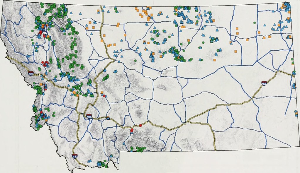
URBN 29901. WEB-BASED GIS This half-credit, hands-on course is designed to introduce students from all backgrounds to on-line Geographic Information Systems (GIS). This course offers a balance of principles, concepts, and techniques to provide students with an understanding of how Web GIS can revolutionize the way their mapping functions. Students will learn how to effectively use and display geographic data, including importing and formatting geographic data, managing data projections, using online data sources and GIS tools, and using fundamental cartographic concepts to create effective maps. Students learn to combine geospatial data with photos, video, audio, and text to visualize a theme or sequential events and tell stories.
- Teacher: Hamed Goharipour